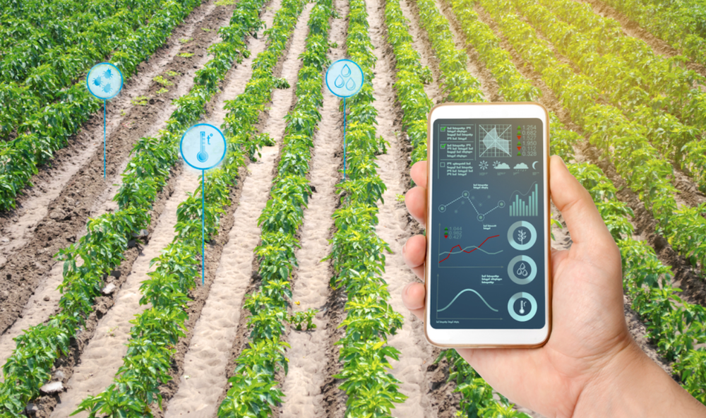
One of the biggest challenges faced by farmers is that they are unable to monitor their fields constantly. It often leads to the loss of crops in some parts of the farm due to pests, disease, bad weather, weeds, etc. That is where the crop monitoring software comes in. It is a digital platform that helps farms constantly monitor the state of their farms and crops. A crop monitoring software acts as a central hub where all the data from satellites and sensors placed on the farm is collected and analyzed. The farms can then use this information to know what parts of their fields have stress crops. It can also be used to predict crop yields, carry out timely interventions, and make informed decisions to increase productivity.
Even though it has some crop management and reporting features, it is heavily involved in measuring crop performance and streamlining the movement of crops from farms to markets. For more information about crop management software please visit https://eos.com/products/crop-monitoring/
Choice of technologies that will meet the needs
The agriculture sector is gradually shifting from conventional methods to sustainable approaches, and all of this involves the use of technology. The need for precision farming is also another major driver for the use of technology in agriculture. Technology has significantly transformed the way agriculture is done, making it more profitable, scalable, efficient, and sustainable. Here are a few technologies that are often used in agriculture:
GIS and GPS agriculture
Using GIS and GPS together permits real-time data collection, which is used for accurate positioning on the earth’s surface. It allows growers to map areas of the field that are best for planting certain crops or carrying out specific activities which will increase productivity. This process is called farm planting and is used to organize sections of the farm for specific crops or activities. Using GPS, farmers can map their fields according to types of crops, topography, boundaries, nearby structures, and much more. Using this data, the grower can make the right decisions for better crop yields and productivity.
Satellite imagery
Satellite data is providing farmers with views of their fields that they never dreamt of having. Now, growers can detect threats from above, predict yields, and monitor their farms in almost real-time.
Satellite sensors can provide images in different spectra. So, experts can apply many different vegetation indices such as NDVI or Normalized Difference Vegetation Index. This index is an indication of the plant’s overall health. Another popular index is CCCI or Canopy Chlorophyll Content Index, which helps growers know when to apply nutrients to plants. To detect nitrogen content in the soil, experts use Normalized Difference RedEdge or NDRE. The Modified Soil-Adjusted Vegetation Index provided by satellites can also be used to monitor crop health. However, the index also takes into consideration bare soil when calculating the health of crops.
Drone and other aerial imagery
Drone technology has become very useful in farming and agriculture. It has become one of the cheapest and easiest methods of getting crop data. With drone technology, farmers can scout their entire field within a few hours. If they were doing this manually, it could take days and up to weeks.
Drones can also help growers map their farms and collect accurate data using the different sensors placed all over the field. This data can then be used to make informed decisions for the future of the farm.
Online Data – necessary information
Crop management software helps farmers make accurate and correct decisions using data collected from their fields. It also helps them estimate the cost of production and their field yields.
Farmers can also monitor crop health and weather, manage resources, and plan farm activities using crop management software. It is quite helpful to monitor pests, irrigation, and the financial record of the farm when necessary. The crop management software is a central hub where farmers can find all the information they need about their farms.
Crop tracking and management – The main aim of crop management software is to organize and streamline all the activities on a farm. It helps to plan activities such as irrigation, tilling, pest and weed control, fertilizing, harvesting, and exportation to markets.
For example, using software like EOS Crop Monitoring, growers can monitor the state of their plants using the Normalized Difference Vegetation Index (NDVI). It basically tracks the greenness of plants, which tells a lot about the crops’ condition. A higher NDVI indicates the presence of live green vegetation, hence healthy crop development during middle growth stages.
Scouting software – Farmers can also scout their fields using specifically designed software. There are mobile and desktop versions that have a digital field maps feature. The farm owner can distribute tasks to multiple scouts in just a few clicks. It reduces the time and resources it takes to scout the fields because the field workers know exactly where to look.
Weather monitoring – It gives growers useful data about the current and historic weather so that they can plan their farming activities smarter.
Analytics and reports – when running a business, it is always important to have an analytics and reporting system. It provides farmers with data about their plants, such as productivity, ROI, and growth rate.
Labor and Resource Tracking – Farm owners can use this feature to track the number of hours that their employees work, distribute resources, and manage their payroll schedule.


